Rector Signs Agreement with Piri Reis University and Attends Conference in Istanbul
From 16 to 18 May 2024, HM The Rector of GMU, Professor Adam Weintrit, was in Istanbul, Turkey for the International Conference HIMAT 2024 "International Symposium on The History of Maritime Technology", organised by Piri Reis University and Tokyo University of Marine Science and Technology in cooperation with Research Salon for History of Maritime Technology in Japan and the Maritime History Research Center of Piri Reis University in Turkey on the 100th University of the establishment of diplomatic relations between Turkey and Japan.
The conference focused on the topic of innovative maritime technology, Which was presented by analysing areas related to the history of maritime navigation, weapons and gunpowder technology, the construction of ships and submarines, marine engineering, radar systems technology, analysis of marine disasters and the associated development of technology. This analysis allows researchers, engineers and historians to determine the directions for the future development of innovative marine technology.
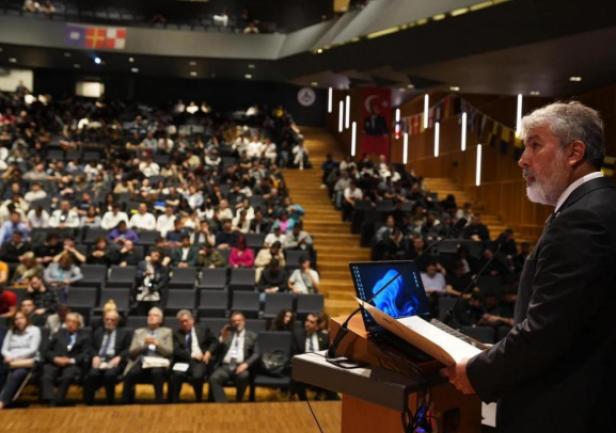
HM The Rector, Professor Adam Weintrit, attended the event as a member of the conference's scientific committee. The Symposium began with the panel, "History of Maritime Navigation", as part of which the Rector presented a paper entitled "A Brief Review of the History of Marine Navigation Charts from Ancient Times to the Present Day". He also chaired a seminar on the "History of Shipyards and Ship Building".
The first day of the event was made up of five discussion panels which revolved around the history of various matters. During the panels, researchers and scientists from countries such as Japan, Turkey and Poland discussed issues related to the history of Maritime Navigation, the History of Submarine Construction, the History of Shipyards and shipbuilding, and various topics under the title of Miscellaneous Maritime History.
The second day of the Symposium focused on the History of Marine Engineering, the History of Shipyards and Shipbuilding - in a seminar chaired by Professor Adam Weintrit, and other topics of Miscellaneous Maritime History.
The proceedings of the symposium were published both in digital and paper formats with high-quality original manuscripts recommended for consideration for publication in major international journals.
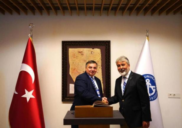
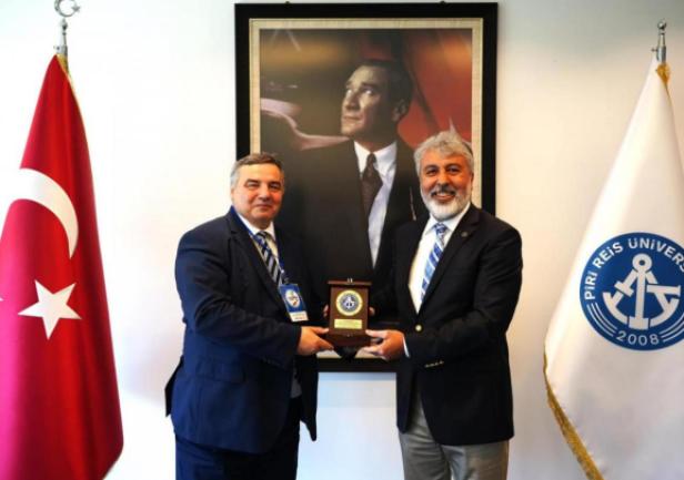
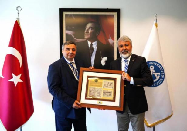
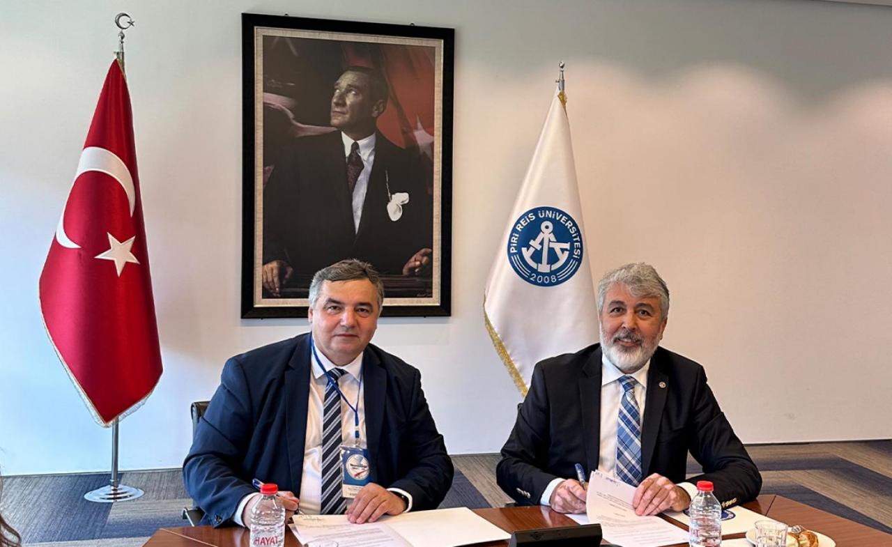
The main focus of the Rector's visit to Turkey was the conclusion of a contract between Gdynia Maritime University and Piri Reis University. The agreement was signed by Rector Professor Adam Weintrit and the Rector of Piri Reis University, Professor Nafiz Arica. Both Rectors are members of the International Executive Board of the International Association of Maritime Universities.
The agreement concerns cooperation in joint research projects and student and academic teacher exchanges.
More details on the conference can be found at: https://www.himat2024.org/ https://pirireis.edu.tr/en/
__________________________
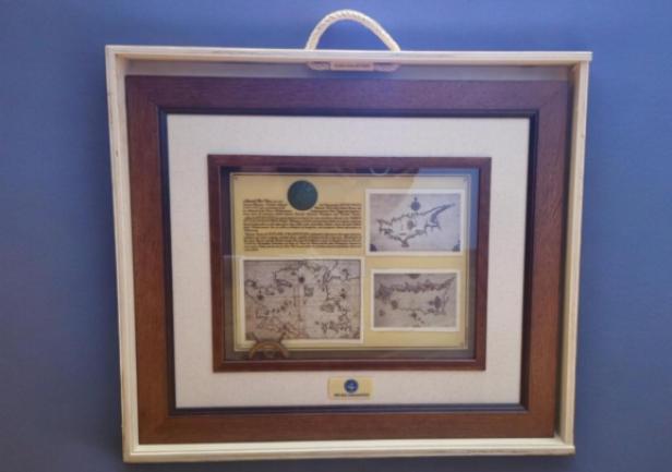
Piri Reis, born Ahmed Muhiddin Piri (Turkish: Pîrî Reis or Hacı Ahmet Muhittin Pîrî Bey) (born between 1465 and 1470, died 1553) was as an Ottoman navigator, geographer and cartographer. He is primarily known for drawing many accurate maps and charts. These are collected in his Kitab-ı Bahriye (Book of Navigation), which he completed in 1525 and contains 210 maps, including descriptions, often in the form of verses, which he wrote under the pen name "Piri". He gained fame as a cartographer when a small part of his first world map, prepared in 1513, was discovered in 1929 in Istanbul. His world map is the oldest known Turkish atlas showing the New World, and one of the oldest maps of America in existence (the oldest known surviving map of America is the map drawn by Juan de la Cosa in 1500). In 1528, Piri Reis drew a second world map, of which a small fragment has survived until today showing Greenland and North America from Labrador and Newfoundland in the north to Florida, Cuba, Hispaniola, Jamaica and parts of Central America. According to his notations, he drew his maps using 20 foreign charts and maps of the world, including Spanish, Portuguese, Arabic, and Greek maps.
