
How Does it Work?
You may choose to follow one of the courses shown on the maps provided. There are no set routes between individual control points - users plan their own routes between control points using the maps. You may also choose to plan your own course using the maps showing the locations of all control points in each of the forested areas. There are 42 control points in total.
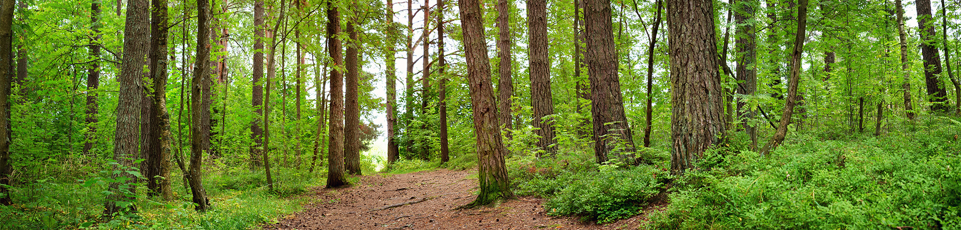
Some of the control points are located along main forest paths, and others are hidden deep in the forest near characteristic landforms or other natural features. Each control point has its own code (numbered from 31 to 72) and a needle punch which has a unique pattern. Once they reach a control point, orienteers punch the pattern in the corresponding box on the control card using the punch. Alternatively control points you can scan the QR codes at each control using the smartphone application "iOrienteering". The exact location of each control point on the map is at the very centre of each of the circles. The starting point for all orienteering courses in each of the two areas is marked on the map by an equal-sided triangle, and the code S1 (on the map for "Grabówek" area) or S2 (on the map for "Chylonia" area). The order of controls for each of the suggested courses shown on the maps is indicated by the straight lines between them. The S1 starting point is located at the entrance to the forest at the end of Grabowo Str. in Gdynia (near GMU, 54.52344, 18.50659). The starting point for S2 is located at the entrance to the forest at the end of Demptowska Str. in Gdynia (54.52329, 18.46623).
The proposed courses are circular; following a course in the correct order as indicated on the map will bring you back to the starting point as shown by a triangle. At both starting points, S1 and S2, there are large information boards which include a detailed map showing the exact locations of all control points, as well as other useful information. Users setting out on one of the courses should bring with them a compass to check their reference direction (North-South) when needed. It should be remembered that approaching a control from a different direction may be associated with a different level of difficulty. Likewise, completing a proposed course in the opposite direction to that which is indicated on the map may significantly increase or decrease the difficulty in finding your bearings in critical places.
The permanent orienteering courses can be completed at your own pace. You may choose to walk leisurely or at a brisk pace (speed walking), or, if you prefer, to jog or run. Another possible option is Nordic walking, and some of the courses can be completed by cycling (on bike paths), and with favourable snow cover in winter, even on cross-country skis. The courses can be completed individually or in groups for recreation, tourism, education, or training purposes; competitively; or simply as a family walk. Orienteering is an activity which can be done at all times of the year, in various weather conditions, during the day or even after dark with a head torch (reflectors have also been installed on the control points). The project is aimed at those who are new to orienteering, as well as experienced orienteers, looking for new cross-country routes or walks.
While orienteering is an excellent source of recreation and fun, it can also help to train perceptiveness, improve skills in route planning (variety of solutions, optimization), decision making, comparing, selecting and verifying information obtained from a map and the environment, or develop the independence, self-reliance especially required in certain professions.