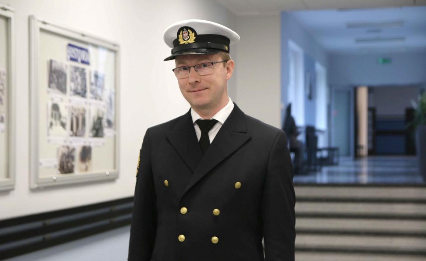
Paweł Dąbrowski, PhD(Eng)
Interview with Paweł Dąbrowski –
Assistant Professor in the Faculty of Navigation
at Gdynia Maritime University
A.B.: First of all, congratulations on obtaining a scholarship from the Minister of Science and Education for outstanding young scientists in 2022. Tell me, what does it mean for you to receive this scholarship?
Thank you, it is a great honour for me and an important step in my professional development.
A.B.: It is also worth mentioning that this is not your first distinction for scientific achievements. In 2020, you received an award from the Polish Academy of Sciences in Gdansk in a competition for young scientists for the best creative work in science and technology published in 2019, and in 2021 a team award from the Minister of Infrastructure for significant scientific achievements. These are also important distinctions for you, aren't they?
I was awarded a distinction by the Gdansk branch of the Polish Academy of Sciences for a publication which was connected with the topic of my doctoral dissertation and presented a processing method for a points cloud, which is a large collection of points which determines the shape of different types of objects. In my research, I use the points cloud of symmetric objects, but this form of presentation of geometry is also used to present the shaping of the topography of the land.
The Minister of Infrastructure's award was awarded to a research team led by Professor Cezary Specht, and also included Oktawia Lewicka, MSc and myself. Our research and publications focused mainly on the use of satellite positioning technology in rail measurements, and our work combined the use of laser scan technology, hydrography and cartography.
A.B.: Your path to becoming a member of the academic staff at Gdynia Maritime University began not as a student of the University, as you are a graduate of the University of Warmia and Mazury in Olsztyn. And neither did you take up scientific work at the University immediately after finishing your studies as you became a surveyor in Gdansk. Tell me, what made you decide to join the research and teaching staff at Gdynia Maritime University?
After graduating in 2009 from the University of Olsztyn in geodesy and cartography, I worked as a surveyor's assistant in my hometown of Iława. I then moved to the Tricity and worked for six years at the Regional Office of Geodesy and Agricultural Areas in Gdansk. Working in a unit which is subordinate to the Marshal of Pomerania enabled me to gain experience in a variety of areas of surveying and other related work. After passing the State exam in 2015, I became professionally qualified in geodetic situational and height, implementation, and inventory measurements. I valued the combination of field and calculation work. I also completed a postgraduate diploma in terrestrial and airborne laser scanning at the AGH University of Science and Technology in Krakow.
I got a lot of satisfaction from working on the identification and resolution of measurement and calculation problems, so I decided to look for work at a University. Meeting Professor Specht, who would later supervise my thesis, resulted in our first joint projects and the beginning of my work in the Department of Geodesy and Oceanography in 2016. My experience in carrying out measurements and working with the results allowed me to get involved in research work in the Department.
A.B.: What are the most important areas of your research? What exactly are you researching, and for what purpose?
The main area of my work is the processing of the point clouds I mentioned earlier, which provides an accurate and detailed source of information on the geometry of objects. The appropriate software makes it possible to show the measured objects on a computer screen and carry out various spatial analyses. It is a paradox that the high accuracy of point clouds may pose a problem, for example, for quantitative analysis or assessment of deformities. In collections of millions of points, many of them overlap, which results in some difficulties in interpretation. This applies especially to symmetrical objects, where the opposite walls of the object are presented in the same spatial view on the first and second plans. The assessment of the geometrical characteristics of such objects is not obvious and requires consideration of several factors, including the course of the axis of symmetry of the structure. Once I became aware of the problem, I decided to look for a solution to improve the analysis of the deformation of symmetrical objects. In addition, my research is connected with satellite positioning, hydrographics, cartography, and the visualisation of spatial data.
A.B.: You have developed your own method for the spatial development of point clouds (Point Cloud Spatial Expansion – PCSE), which is the processing of spatial data from laser scans. What kind of specialist apparatus is required to carry out such tests?
Here I'd like to go into more detail, as it's a wider topic than that of my research work. In my case, data processing concerns objects that have the characteristics of symmetry, such as the vault of planetariums, water towers, and cooling towers. In this case, the geometry of the object is analysed against the appropriate reference block. In these examples, it will be a sphere, a roller, or a hyperboloid. Spatial development is an alternative form of presentation of the geometry of objects. In some ways, they can be imagined as a mock-up of the cut and stretched surface of the object. An important feature of the method is the acquisition of additional geometrical information that is not directly available in the original data collection.
Typical source material for research is the points cloud recorded by ground-based laser scanners. In some way, scanners act in a similar way to the classic geodetic tachymeters that measure angles and distances. Both types of instruments are placed on surveying stations. The difference is the high degree of automation of the measurement process in scanners and the ability to record hundreds of thousands of points per second. A Points cloud obtained in this way represents in high resolution the geometry of the area of the surrounding objects. In my work, I also used data from airborne scanners, but their detail and accuracy are usually lower than in the case of terrestrial scanners.
The numerical record of the geometry of the objects is one of the two key elements of the study. The second is the development of an appropriate mathematical model. Without going into detail, this involves the determination of the parameters of the elements of symmetry, such as the axis of the pressure tower or the position of the centre of the sphere that determines the shape of a planetarium. In addition, every type of object requires the creation of a program using the appropriate mapping functions, which enable the creation of spatial development.
A.B.: In 2017, you carried out measurements of the interior of the Mariacka Basilica in Gdansk, and in 2019, measurements of the facade of the Faculty of Navigation using surface laser scanning technology. Tell us please about the process of carrying out these measurements, as well as the results of both measurements.
The laser scanning process is largely automated. Depending on the type of scanner and the chosen resolution, the measurement on a single position may take from a few to 30 minutes. Only surfaces off of which a laser beam can bounce are included in the measurement. With more complex objects, it is necessary to measure from multiple positions, and the stored data should be properly combined into a single aggregate points cloud.
The points cloud for the Faculty of Navigation is used during classes to introduce students to laser scanning technology. The points cloud of the Mariacka Basilica in Gdansk is the subject of research into the geometry of Gothic crystal vaults. The work requires further consultation with architects and art historians, as the restoration of the original shape from the 17th-century schematics of the vaults by Bartel Ranisch is a complex task.
A.B.: How else can the PCSE method you have developed be used? Who could potentially benefit from it? Or perhaps it is already being used?
In the last year, the PCSE method was further developed to assess the geometry of objects with an unusual axis of symmetry. The calculation algorithm was supplemented by the elimination of the influence of the tilt and the variable modular course of the symmetry axis. As an example of the method, a points cloud was chosen for the bell tower in Pisa, commonly known as the Leaning Tower. In one publication, I present the assumptions of the extended PCSE method and analyse the symmetricity of the tower in several geometric aspects. In my most recent work, I describe the solution to the variable axis of symmetry. This paper is currently being peer-reviewed.
The potential area of application of the spatial cloud development method is its implementation in the engineering software used in the processing of point clouds. It may also constitute a separate comparative method in relation to other methods of assessment of object geometry. The advantage of the PCSE method is its universality, which allows it to be used for many types of symmetrical objects when determining the initial parameters.
A.B.: You took part in the InnoSatTrack, a joint project by Gdansk University of Technology and Gdynia Maritime University as part of the Smart Development Operational Programme. The project aims to develop an innovative method for determining the precise trajectories of a rail vehicle. What tasks did the project involve, and what was your role?
I prepared and carried out measurements on rail routes and the development of satellite data. The team at Gdansk University of Technology specially devised a system of frames and supports for the installation of measuring apparatus on the platform. The primary aim of the project was the use of satellite receivers in the set-up and the determination of spatial interactions among other sensors, such as accelerators, inclinometers, and cameras. It was useful to have practical experience in carrying out surveying. This stage of work was carried out before going out onto the railroad. Out in the field, I was responsible for the configuration and operation of satellite receivers on the test routes. After completing the fieldwork, we had to process the data from the receivers. This information was later used for analysis by both the GMU and Gdansk University of Technology teams.
A.B.: Can it be said that the results of the research carried out during the project will contribute to increased safety in rail transport?
It is difficult for me to answer this question. The results of the project will certainly be applied in diagnostic work on the railways. The information obtained in this way can be used to assess the status of a route and the need for modernisation work. The project was about creating and providing a tool, and ultimately all decisions are taken by the relevant train traffic management authorities.
A.B.: In 2022, you spent time at the Delft University of Technology in the Netherlands on a research internship as part of the Bekker NAWA Programme. Your research director was Professor Roderik Lindenbergh - an experienced scientist dedicated to remote sensing and cloud point processing. What was the purpose of the internship, and what effects has it already had, or do you assume it will have in the near future?
Taking part in a research internship in a team led by Professor Lindenbergh was a great honour for me. The main aim of the work was to determine the characteristics of the dissemination of points in spatial development. During initial consultations, we came up with additional ideas that we decided to put into practice. Cooperation with the team has resulted in the development of my research capabilities both in terms of methodology and the preparation of publications. Several joint ventures have already begun, and I hope that more initiatives are still to come. Our first joint scientific paper has already been submitted to a journal and is currently being reviewed.
A.B.: Do you think that conducting a research internship at a foreign university or research institution is a desirable step in the scientific development of the University's staff?
Definitely. Of course, I cannot speak for all centres, but in the case of TU Delft, the experience gained was very valuable. In addition to the support of the research supervisor, it also gives you the opportunity to consult with other scientists. When solving the problem of assessment theory, we were helped by Professor Alireza Amiri-Simkooei, who is one of the most renowned scientists in his field. I was treated with kindness and openness and the weekly meetings of Professor Lindenbergh's research team, during which we discussed and resolved current research problems in remote sensing, were of great benefit to me. What was interesting was that students writing their master's thesis also take part in these meetings. All of these factors and the intensive nature of the research work have a tangible effect in the short term, develop good habits, and broaden your horizons.
A.B.: Let's go back to the beginning of our discussion and the scholarship awarded to outstanding young scientists with significant achievements in their scientific activity. What do you think determines success in this way? Exceptional abilities? Working in a research team under the guidance of an experienced scientist? Or is it simply the result of systematic work?
All of these factors contribute to success. And perhaps it's cliché, but I'm going to say that perseverance and hard work are the most important. In the beginning, it is of particular importance that the head of the research team directs the first projects. On top of research tasks, scientists just starting out as university assistants are also given teaching responsibilities. Preparing and conducting classes with students takes up quite a lot of your time. Once you add in other responsibilities, there's often little time left for research. Finding the right balance is easier thanks to the support of the head of research and the appropriate division of tasks within the research team. My road consisted of small steps, gradually looking for interesting research topics and often long evenings spent in front of the computer screen.
A.B.: Have you had any difficult moments, or maybe moments of doubt, in your scientific work to date?
There have been difficulties, especially leading up to the defence of my doctorate. The overlap of family, teaching, publishing responsibilities, and work on the research project left precious little time to write a dissertation. I also held the role of deputy director of the department for a while, which further increased the list of tasks. I must admit that the beginnings were not easy, but I have always treated the circumstances as an opportunity to gain further experience. You can't lose confidence in yourself when you find you have no time or possibility to work on a research problem for the next few weeks. In the end, we always found the solution to the issue and were able to move forward.
A.B.: What are your scientific plans for the future? What would you like to achieve in the next 10 years?
I would like to continue my scientific cooperation with Professor Roderik Lindenbergh and other foreign research centres. In addition to the topics we are already working on, I have some interesting ideas for new projects. In recent years, I have been working on gathering materials to complete a doctor of science degree (habilitation) in the future. In the longer term, I would like to implement in my work some of the practices I have observed at Delft. But this is something that will require even more effort from me.
A.B.: Finally, I would like you to share with us your passions and interests. Perhaps here you also have specific goals to achieve, for example, within the next 10 years?
Today, most of my time is spent with my family. Personal interests give way to the need to bring up and ensure a good education for my children. I read a lot in my spare time. I tend to look for something to distract me from work-related reading. I am interested in history, art and architecture. Perhaps in the future, I will find more time to travel.
A.B.: How would you encourage Gdynia Maritime University students to become involved in scientific activity?
Scientific work brings great satisfaction, as the possibilities for research are endless. If you and is and like solving problems, you will most likely find your niche. Currently, there are a variety of scholarships and grants available that can be used to fund professional development, some of them for students. The first steps should be taken in scientific circles, where you can get help with developing your first publications and preparing for conferences.
A.B.: You talk about your work and interests with great enthusiasm. Thank you very much for talking to me. I wish you all the best for further professional and personal success.
Thank you.
Interview by Anna Błażejewska
Dr Paweł Dąbrowski,
Assistant Professor in the Faculty of Navigation at Gdynia Maritime University
Research interests: remote sensing, laser scanning, satellite surveying
ORCID: 0000-0002-6177-0493
e-mail: p.dabrowski@wn.umg.edu.pl