Young Scientists - An Interview with Dr Łukasz Janowski
09.12.2023 | 15 min. czytania
A prestigious Minister of Education and Science Scholarship for outstanding young scientists has been awarded to Dr Łukasz Janowski as part of the 18th edition of the competition.
Dr Łukasz Janowski, an assistant in the Department of Operational Oceanography at the Gdynia Maritime Institute, was among the 230 young scientists awarded scholarships by the Minister of Education and Science in June 2023.
In a series of brief interviews with the award-winning members of GMU staff entitled ‘Young Scientists’, conducted by Anna Błażejewska (A.B.) from the Department of Science, they reveal their research interests, road to success, as well as their interests beyond science.
Also part of this prestigious group are GMU members of staff recognised in the previous edition of the competition: Agnieszka Lazarowska, DSc(Eng), Associate Professor; Paweł Dąbrowski, PhD(Eng); Mariusz Specht, PhD(Eng); and Paweł Górecki, DSc(Eng), Associate Professor;
Below you can read the interview conducted by Anna Błażejewska with Dr Łukasz Janowski.
Interview with Dr Łukasz Janowski – Assistant Professor in the Department of Operational Oceanography at the Gdynia Maritime University Maritime Institute
A.B.: Please accept our sincerest congratulations on the award of a scholarship from the Minister of Education and Science for outstanding young scientists in 2023. What does it mean for you to receive such a prestigious award?
Thank you very much. It is an exceptional award given to only a few young scientists every year. In Earth and environmental sciences, these scholarships are awarded to no more than five people each year. I am pleased to be one of this small group and that my scientific achievements and the quality of my research have been recognised.
A.B: It is worth mentioning that this is not your first distinction for scientific achievements. In 2015, you won the Student Support Award, funded by the American company R2Sonic, the sponsor of the GeoHab 2015 Conference (Marine Geological and Biological Habitat Mapping), held in Brazil. In 2017, you received the Professor Halina Piekarek-Jankowska Award. Your doctoral thesis ‘Mapping of the demersal habitat of the Venetian Lagoon based on multibeam echosounder tests’ was awarded a distinction. These are also important accolades for you, aren't they?
They are. I am particularly fond of remembering the first of these awards, which, for the first time in my life, allowed me to take part in the GeoHab Conference. This was the beginning of my path to doing a doctorate. At some point, I decided to take a chance and apply for a Student Support Award for students who would like to take part in the conference, but do not have funding. To my surprise, the preliminary results of the research conducted in the Venetian Laguna proved to be so interesting that the organisers invited me to take part in the conference and give a presentation on the topic in Brazil! Meeting with the international community of leading researchers in similar areas was amazing. I had the opportunity to understand what it means to be an oceanographer in a global sense. At the GeoHab conferences, you learn how researchers from around the world are concerned with learning about valuable organisms that inhabit the seafloor in various marine environments, ranging from coral reefs in Belize to hydrothermal vents in the middle of the ocean. Since then, I have presented three times at GeoHab conferences in different countries, always returning home with a great deal of inspiration for further research. Of course, local distinctions are also very important, as they assure me that my chosen research topics are important in the local scientific community.
A.B: The topic of your research is connected with the development and use of machine learning methods in maritime remote sensing based on geophysical measurements. A.B.: What are the most important areas of this research? What exactly are you researching and to what aim?
My work uses various non-invasive methods of exploring the seafloor. The subject of the research is not only the geomorphology of the surface of the seafloor but also the determination of its nature, parameters and the groups of organisms inhabiting it. The seafloor can be measured using a variety of devices. First, there's the classic approach, using sonar and echosounder devices installed on vessels which measure underwater acoustics. Then there are also less well-known solutions using aircraft such as Bathymetric Lidar, photogrammetry, as well sensors installed on satellites. I use all these sources in my work to determine the type of geological substrate and the biological environment of the seafloor in an automated and objective way using machine learning methods. Based on data gathered using remote sensing and direct observation, I am developing models that can predict the existence of specific demersal habitats with a high degree of accuracy.
A.B: Your original research achievements include the development of a classification model and a benthic habitat map based on the measurements of a multibeam echosounder working on two frequencies. Your research was conducted as part of the international research project BONUS-185 ECOMAP. Are these pioneering research methods currently of interest to scientists using non-invasive methods in their research on the seafloor? What's the response to these methods in the scientific community?
The different operating frequencies of the multibeam echosounder are intended to reflect the different characteristics of the seafloor. The acoustic measurements carried out in 2018 at the research site near the village of Rowa were carried out using frequencies of 150 and 400kHz. The results of our research were among the first in the literature to describe how different measurement parameters can affect the effectiveness of the development of seafloor habitat classification models. The papers written based on this research and published in 2018 and 2020 have already been cited many times and it's very satisfying to see how they've become essential reading in the international literature on the topic.
A.B: You took on the task of identifying and exploring underwater archaeological sites in Lednicki Lake. And you even successfully reconstructed a sunken harbour dating from the Middle Ages in Puck. How was the work on these projects carried out. What kind of specialist apparatus is required to conduct research of this type?
Methods employed to date in Earth and environmental sciences can also be successfully used in archaeology and the exploration of cultural heritage sites. The multibeam echosounder enables us to measure interesting areas in sufficient detail for archaeological purposes, as was the case with the sunken medieval port in Puck. Interestingly, archaeological objects can be identified in an automated manner using the methods of object-based image analysis and fuzzy logic. In the case of the Lednicki Lake, after identifying the potential locations of archaeological sites, Professor Andrzej Pydyn and Dr Mateusz Popek of the Underwater Archaeology Centre at the Nicolaus Copernicus University in Torun did indeed come across such archaeological finds in practice. In all honestly, I was amazed that they achieved such precise results using my methods.
A.B: You once said that the Bay of Puck has great archaeological potential that is still waiting to be discovered. Perhaps in the future, your search will lead to the discovery of some forgotten settlement on the scale of Truso, a large emporium with an artisan and merchant settlement. Do you think this is possible?
It would seem that there are no more places on Earth for humans to discover. However, as many experts have stressed, we now have better maps of the Moon, Mars, and other planets than the ocean floor. Many of the unexplored areas are shallow areas that may have been inhabited by humans in the past. Global initiatives are currently taking place to ensure we have exhaustive knowledge of the ocean floor by 2030. If there are still such forgotten settlements out there, I think it would be quite realistic to expect them to be discovered in the coming years. Whether I will be involved in the discovery of Old Hel, Vineta, or Arkona, I have no idea. But it would be something truly amazing!
A.B: Three times, in 2013, 2014 and 2019, you took part in internships at Consiglio Nazionale delle Ricerche - Instituto di Scienze Marine (CNR-ISMAR), in Italy. It should be stressed that your research work has made an important contribution to the Italian flagship research project RITMARE - a project with a budget of EUR 250 million. What was the importance of your participation in these internships? What can you tell us about the research conducted in Italy?
The internships in Venice enabled me to gain experience working closely with an international research team and to focus on my doctoral work. My doctoral advisor, Dr Fantina Madricardo, is from Venice. During my stay in Italy, I was involved in several research projects, including RITMARE. I learned how to use the precise measuring equipment made by Kongsberg, as well as modern data analysis techniques. I continue to benefit from the valuable experience I gained there.
A.B: During several stays in Italy, you collected hydro-acoustic data covering 50 km2 of precise measurements for all sailing tidal channels within the Venetian lagoon. It could be said that in terms of Venice and its channels, you left no stone unturned.
The Venetian Lagoon is a unique area. I’ve been lucky enough to have visited many places around the Lagoon, although I must admit that due to the shallow depth of the lagoon and the differences in the water level due to the tides, it was not always easy. Nevertheless, to all those who have not yet had the chance to visit the area, I highly recommend not only the historic centre of Venice but also other interesting places in the region such as Lido, Murano, Burano, and Chioggia.
A.B: For a case study on the Chioggia Lagoon you developed original methods for the analysis of object image (OBIA) and automated supervised classifications. The area of Chioggia is located in the southern part of the Venetian Lagoon and is one of the places where modern moving MoSE flood barriers have been installed to protect Venice from flooding. What are the results of your research carried out as part of the NCN ETIUDA 6 project?
I was able to trace the changes in the spatial distribution of the demersal settlements within the Chioggia Tidal Inlet. I developed models for the classification of sediments for hydroacoustic data collected during the years 2013 and 2016 and then observed changes that occurred over the years. It turns out that the area is very dynamic. The seafloor was enriched with sediments that were a mixture of sand and mulch, and the typical sandy sediments were lost. The methodology developed during these studies is universal and can be used in other areas which are changing dynamically.
A.B: In 2022, you completed a scientific internship at the Cyprus University of Technology in Limassol. You received a very flattering opinion from your internship supervisor, Prof. Dimitrios Skarlatos. I quote: "Dr Janowski is a most promising young researcher, with a great wonderful disposition. He worked diligently on the project. Our collaboration with him was very interesting and mutually beneficial and will no doubt continue." What are the results of this cooperation and are there any plans for it to continue in the future?
Prof. Dimitrios Skarlatos is an experienced head of a research group in Cyprus. During my scientific internship, I learned the principles behind the generation of a cloud of points from aerial photographs, satellite-derived bathymetry, and the operation of Bathymetric Lidar. I also learned how to use a Blue Robotics ROV. Our cooperation has so far resulted in a few research works, one of which is currently being reviewed for publication in a highly ranked journal from the Nature publishing group.
A.B: Do you think that conducting a research internship at a foreign university or research institution is a desirable step in the scientific development of the University's staff?
Definitely. Working with an international research team has many benefits. It allows us to gain a different perspective on the research carried out, to develop avenues for international cooperation, and to gain an understanding of the dependencies and processes occurring in an environment different from our own. There are also non-work-related benefits, such as the ability to organise a place to live abroad, familiarisation with a foreign language, and the chance to get to know the local cuisine, culture and customs.
A.B: I understand that the methods used for the automatic determination of demersal habitats and the chartering of the seafloor are currently being successfully used in a project entitled "Mapping of demersal habitats of Polish maritime areas using seafloor image mosaicing during the years 2021-2023", carried out on behalf of the Chief Environmental Protection Inspectorate. Is it accurate to say your research contributes to the protection of the environment?
Indeed, the main aim of these studies is to implement the commitments set out in the Marine Strategy Framework Directive (MSFD), namely the protection and preservation of the marine environment. The result will be the development of a map of demersal habitats in Polish maritime areas at a detailed level - that is, EUNIS 5 in the habitat classification system.
A.B: Could you tell us in what other ways the research methods you have developed could be used? Who might benefit from them? Or perhaps they are already being used?
The research methods I developed have already been used successfully in the discovery and exploration of glacial landforms in Poland (Nizina Gardnieńsko-Łebska, Wysoczyzna Lubawska) and the Elise glacier foreland on the island of Spitsbergen. Therefore, these methods can also be applied to research on land as well as in marine environments. I hope that in the near future, I will be able to develop similar methods by mapping maritime areas with relatively small depths on a detailed scale, but also much deeper oceanic environments on various scales.
A.B: Ministry of Education and Science scholarships are awarded to scientists with significant achievements. What do you think determines such success? Exceptional abilities? Working in a research team under the guidance of an experienced scientist? Or is it simply the result of systematic hard work?
In my opinion, the quality and originality of the research is of utmost importance. Research activity is characterised by papers published in high-scoring journals on the JCR list. However, you can't overlook your own input and the subsequent recognition gained by these papers. A unique approach and high-quality research means eventually a researcher is likely to start significantly influencing his field of study. This becomes apparent to the scientific community, including experts who evaluate applications.
A.B: Have you had any difficult times, or maybe moments of doubt, in your scientific work to date?
Of course. There are difficult moments connected with every review of a paper, grant, or scholarship application. The peer review process is designed to assess work anonymously and objectively. Often, the work being reviewed is completely different from the work of the reviewer. At times, we may be shocked, surprised, and even frustrated when we read such a review for the first time. However, it's worth taking the time to understand what the reviewer meant, and we often come to the conclusion that the person was right. Work in research teaches humility.
A.B: A.B.: What are your plans for science for the future? What would you like to achieve in the next 10 years? Will there be time to explore any new areas of activity?
In the near future, I plan to continue my work and successfully complete the NCN Sonatina 5 research project. I can already see that alone I won't be able to see through all the ideas and tasks that are emerging. I think we will need to put together a small team to focus on such topics. And then... who knows? It would be a dream to publish in the most prestigious journals such as Nature and Science and to be awarded a prestigious European Research Council (ERC) grant.
A.B: You are a researcher employed as an assistant professor. Do you also see yourself as a lecturer in the future? It would be particularly valuable to share your extensive knowledge with students or doctoral candidates.
Teaching is the natural continuation of scientific work. Although I value working with students and I have had the opportunity to teach several courses during my doctoral studies, I've noticed that my research work slowed down to a certain extent during this period. Therefore, I would like to focus mainly on scientific research while I still have the opportunity to do so.
A.B: Finally, I would like you to share with us your passions and interests. How do you spend your free time? Do you play sports? Entertainment? Perhaps here you also have specific goals to achieve, for instance, within the next 10 years?
I love all kinds of activities such as biking, running, skiing, and snorkelling. I often combine these activities with travelling to lesser-known places. In these places, I like to discover local customs, culture and cuisine. I am also fascinated by people and their experiences. In my spare time, I enjoy reading literature, DIY, repairing things, and inventing unusual things. My wife and I are animal lovers and we love spending time in nature. We have two big cats and a small dog.
A.B: Thank you very much for talking to me. I wish you all the best for further professional and personal success.
Thank you.
Interview by Anna Błażejewska
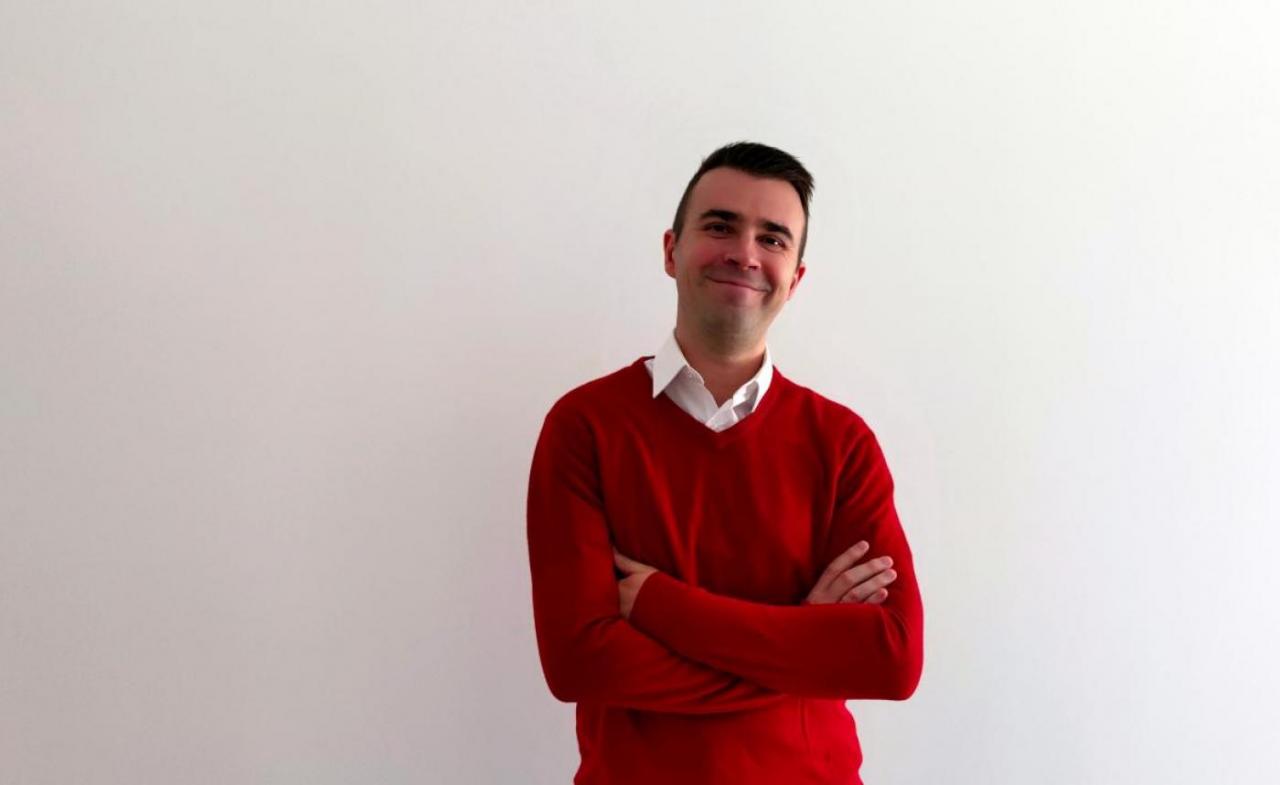
Dr Łukasz Janowski
Assistant Professor at the Faculty of Operational Oceanography, at the Gdynia Maritime University Maritime Institute
Research interests: remote sensing, object-based image analysis (OBIA), geographic information systems (GIS), underwater acoustics, marine geology, geomorphology, and benthic habitat mapping
ORCiD: 0000-0003-2103-9230
mail: ljanowski@im.umg.edu.pl