
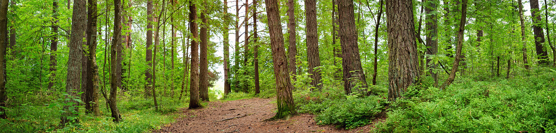
Map "Grabówek"
Below are maps to be downloaded for orienteering courses beginning at the entrance to the forest at the end of Grabowo Str. in Gdynia - starting point S1 on the map, where the geographical coordinates are (54.52344, 18.50659) = (54o31'24.4'' N, 18o30'23.7'' E), Plus Code: GGF4+9JG Gdynia.
These basic orienteering maps are oriented towards magnetic north and are to a scale of 1:10 000. 1 cm on the maps is equal to 100 m on the ground. The content of the maps (cartographic signs) was developed based on the international standards of the IOF (International Orienteering Federation) for the creation of maps and presentation of data (symbols), i.e., the ISOM 2017-2 specification for forest maps. The legend for the maps can be downloaded on the description page. The distances shown on the maps are indicative, i.e., they have been calculated based on sections of straight lines (so-called overhead lines) connecting checkpoints on the proposed routes. The actual distance covered will depend largely on the chosen route and the user's navigation skills.
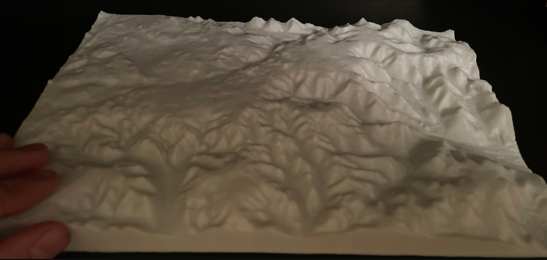
Also available for download are orienteering maps showing the positions of all control points in the "Grabówek" area without any roads and footpaths, only with the roads and footpaths as well as the some maps of different types: topographic, digital terrain model (DTM), and a contour map (1m interval). The maps have been prepared to a scale of 1:10,000 and are designed to be printed on A4 paper.
Sources of data: a topographic map to a scale of 1:10,000 in the “1965” coordinate system, a topographic map to a scale of 1:10,000 in the “1992” coordinate system, a topographic map to a scale of 1:25,000 in the “1965” coordinate system, a “Messtischblatt” German topographic map to a scale of 1:25,000, and a Digital Terrain Model (DTM) from 2022 (Geoportal).