Marine Hydrotechnics Department
The Department conducts research and development activities in coastal and marine environment, close cooperating with other departments and laboratories of the Maritime Institute. The main customers of research activities, expert analyses and projects are the Maritime Offices, scientific institutions, design offices and contractors operating within the coastal zone and offshore environment.
The main groups of activities include:
Coastal protection, covering in particular:
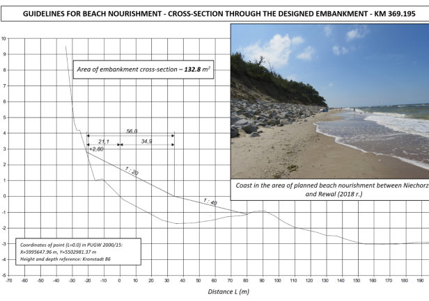
- artificial beach nourishment design at open sea coastal segments and in lagoons;
- assessments of sediment parameters for nourishment purposes;
- assessment of natural and technical characteristics of coastal segments;
- modeling of coastal lithodynamic processes;
- design of coastal and flood protection techniques and technologies.
Statistical analyzes of the impact of marine environment on coastal and offshore structures
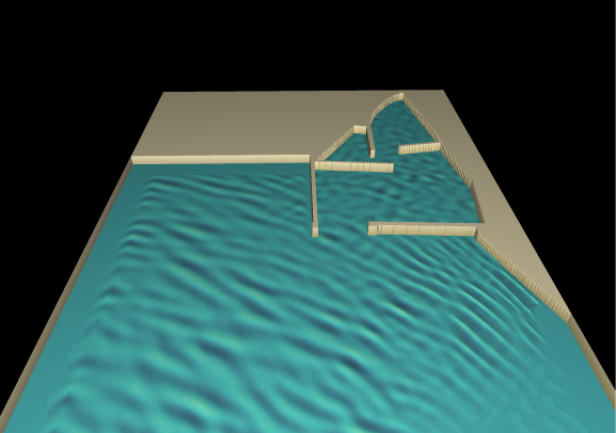
Modeling of surface wave propagation
- numerical wave-current analyzes in marine basins;
- modeling of wave excitation in ports in the context of expected expansion and modernization of infrastructures in ports and marinas.
Numerical modeling of sediment transport and suspension in marine environment
- modeling of spreading of suspended sediments from underwater operations in waterways, ports and marinas;
- modeling of spreading of suspended sediments during construction of offshore wind farms.
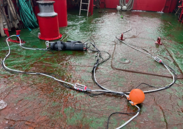
Underwater Acoustics
- underwater noise;
- modeling of sound propagation.
Environmental Impact Assessments
- preparation and development of environmental documentation - Forecasts and Reports on environmental impact, Project Information Investment Information Sheets located in coastal zone and marine areas - in compliance with all relevant legal requirements;
- environmental impact assessments of planned coastal protection projects;
- preparation of Applications for obtaining permits for the disposal of dredged material in marine basins together with environmental assessment Reports on disposal of dredged sediment in marine environment.
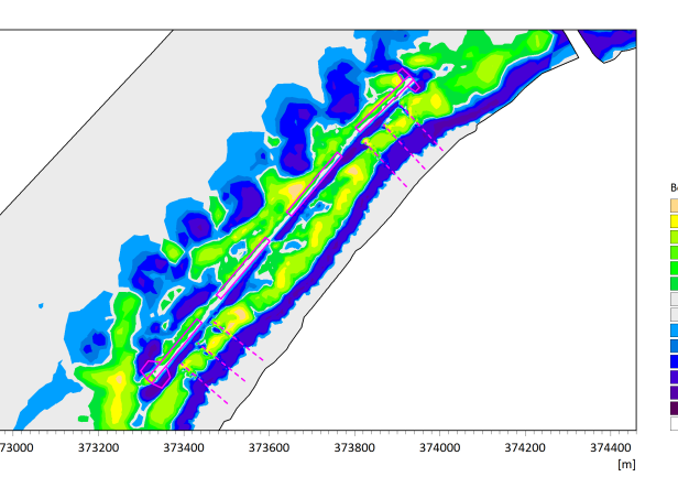
Preparation of maps together with analyses of numerical data in GIS.
Tools and equipment: Mike 21, GIS toolkit, ArcGIS toolkit, Golden Surfer and Grapher toolkits.
